Requirements
Every project is different! We will find suitable data and determine the appropriate techniques for recording.
Data Assessment
We generate your data using UAS flights or obtain inventory data.
Analysis
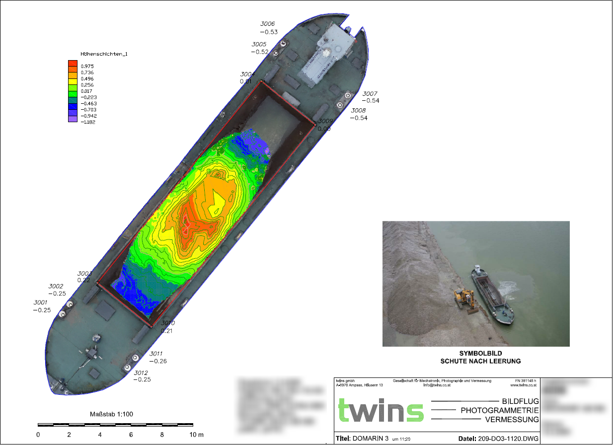
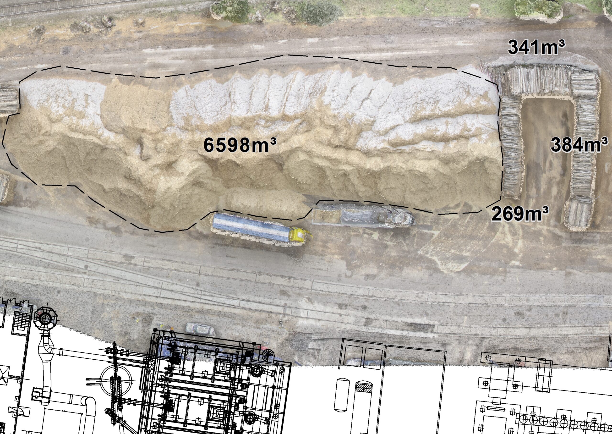
According to the requirements, we will process the data to gain additional information.
Handover
You will receive your data in common CAD or GIS formats. If desired, we can summarize the results in a PDF document.
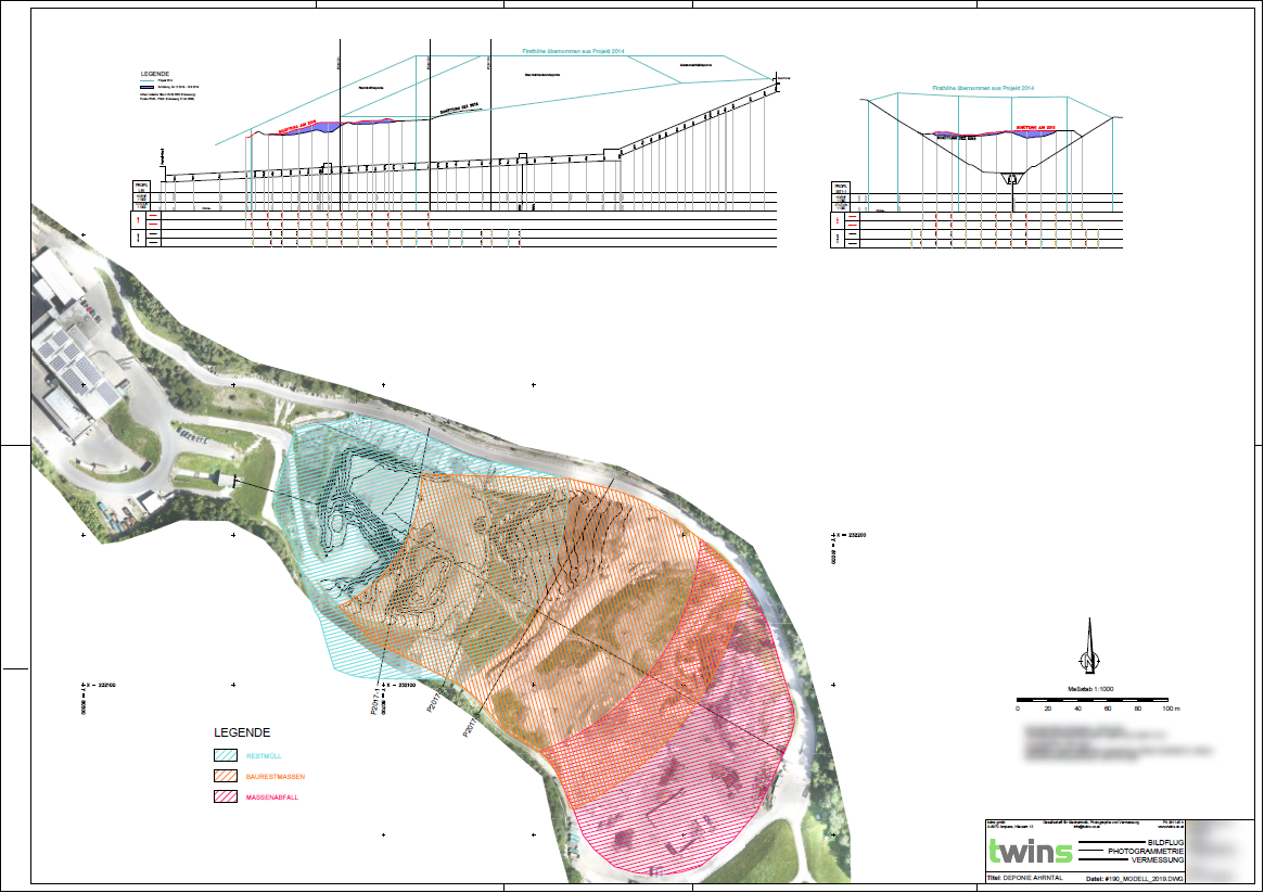
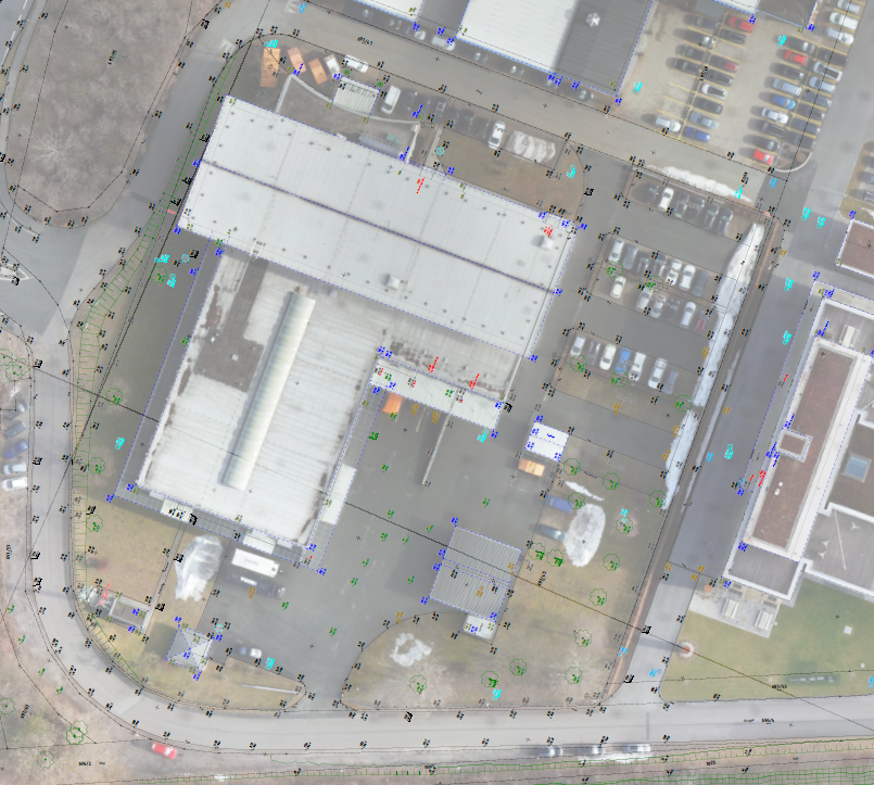
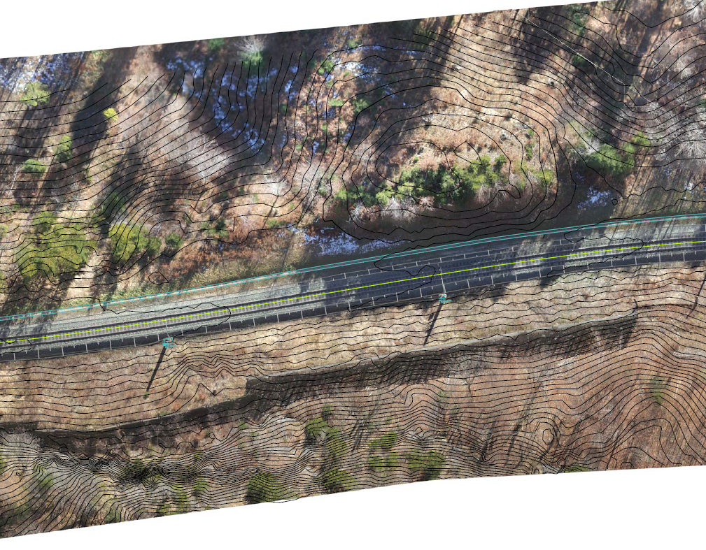
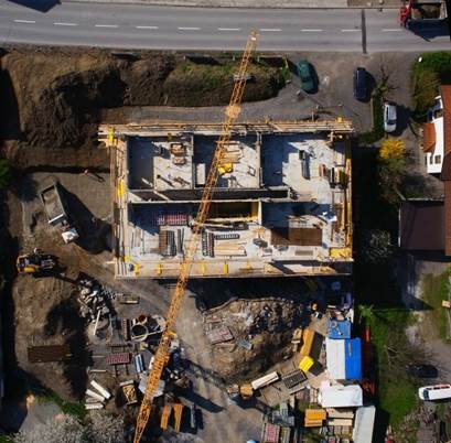
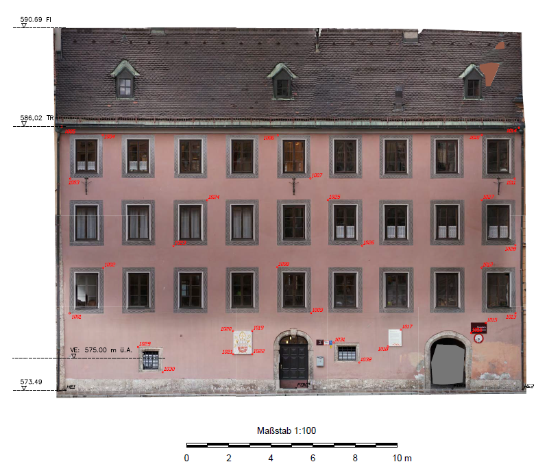
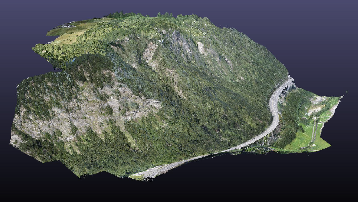
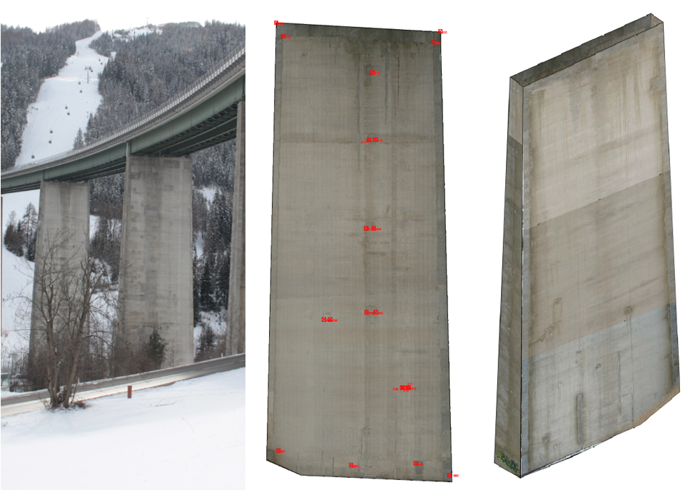
Examples
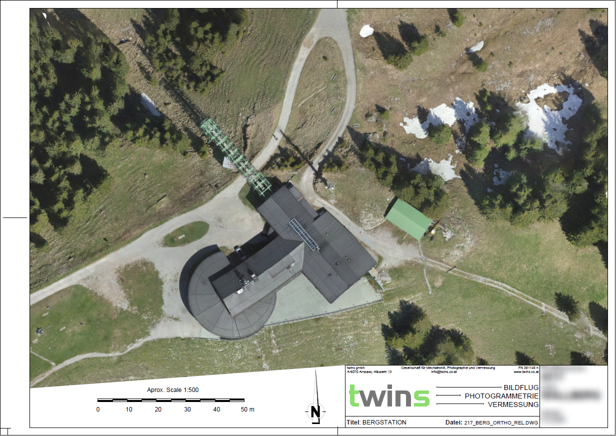
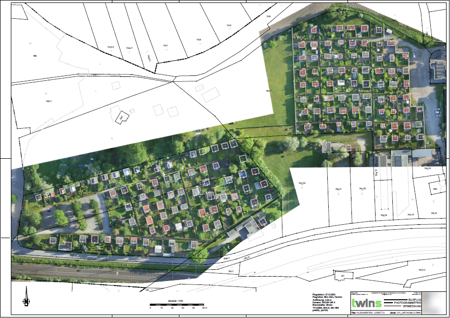
Orthophoto

Do you require a quote or have additional questions? Contact us at office@twins.co.at!